Lake Man
I led a CTC party of 12 to Lake Man on the weekend of November 23rd-24th, 2024. I had never been to Lake Man or even up the Doubtful Valley, but I read plenty of route guides and did my due diligence monitoring river levels.
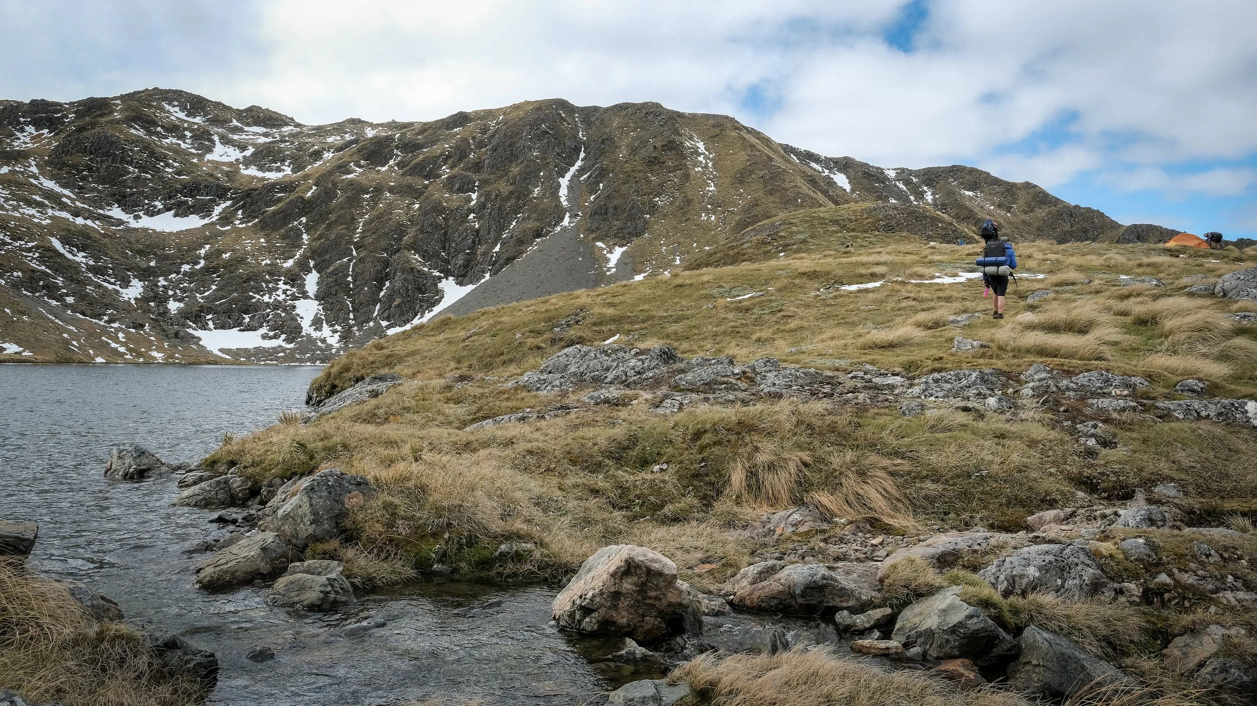
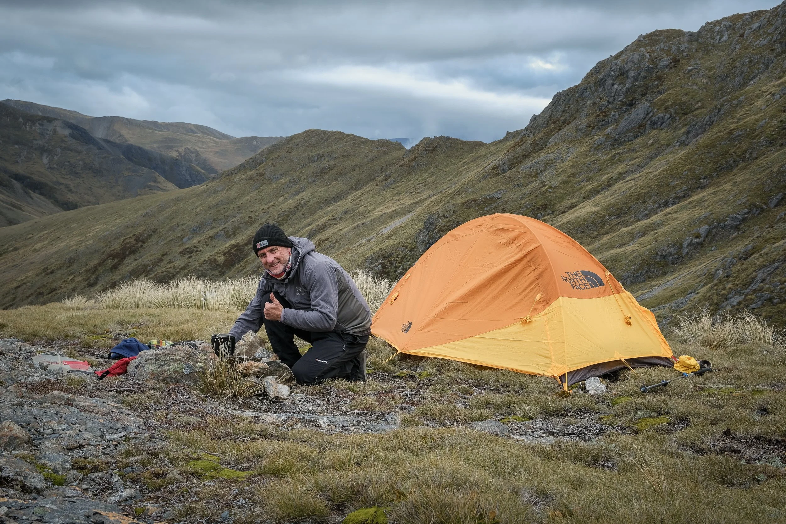
In the end, we were entirely successful in reaching our objective, and we tented at a magnificent high alpine lake in New Zealand with no one else around but a few kea. What follows is my own route guide - I hope you make it there yourself.
Day 1
To Lake Man via Doubtful Valley:
17.3 km, 7 hr 20 min, 1123m gain
First, cross the Boyle River. Park here. To be sure it’s crossable, check the river flow data from Environment Canterbury (here). There is no gauge in the Boyle River, but there is one downstream: ‘Hope River at Glynn Wye - stage only’ (here). Look at the past 30 days, and if the most recent data shows that the river is at roughly the lowest it’s been in the past month, you’ll be able to do the crossing.
If the river is too high, you’ll have to start 6km further south at Windy Point. This could be useful if you intend to make your Lake Man visit a loop of the Doubtful and Valleys. However, if you intend to go to and from Lake Man via the Doubtful Valley, I’d recommend waiting for a day when the river is at its lowest and save yourself 6 km extra walking each way.
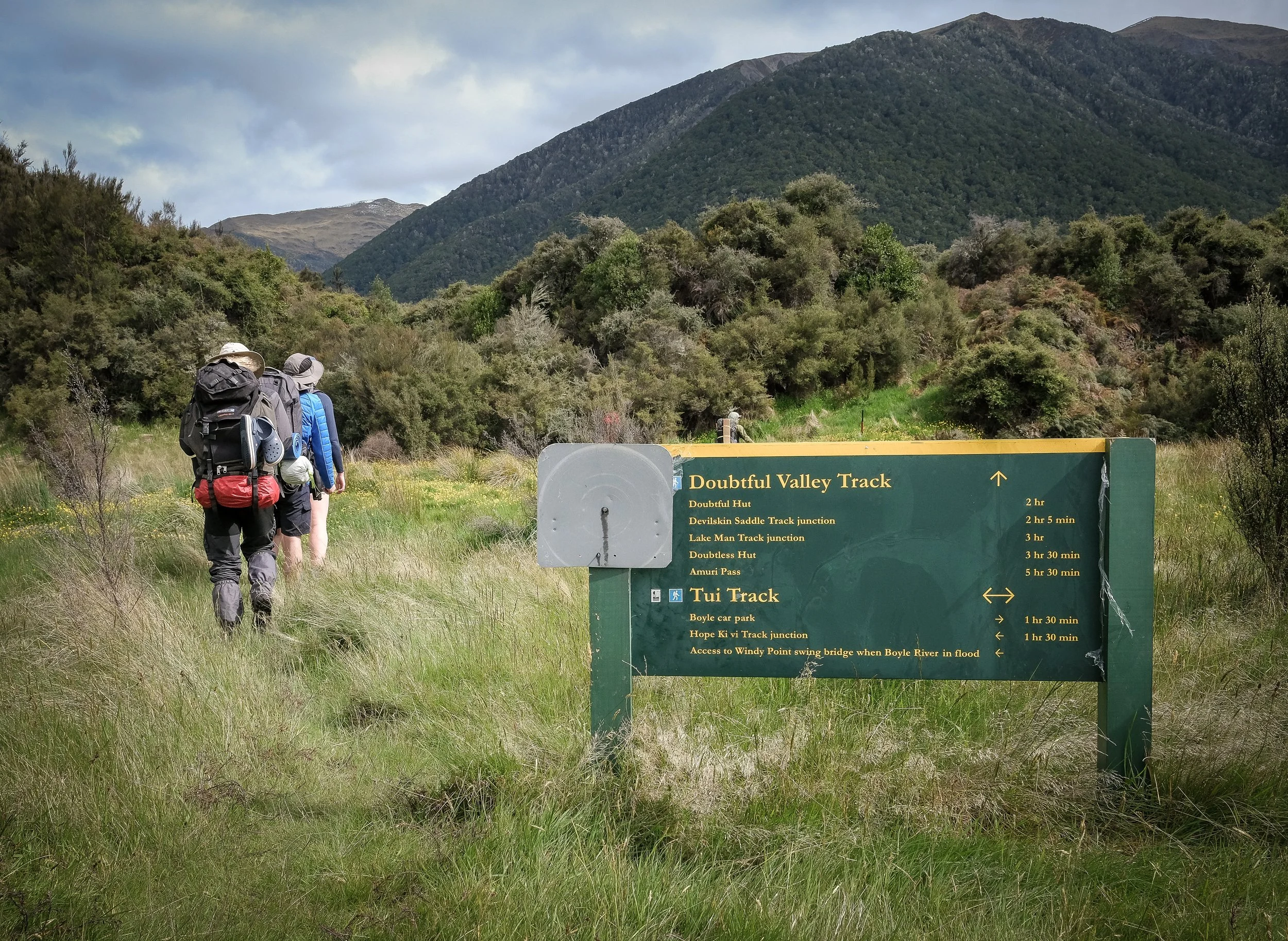
Once across the Boyle River, head north-west about 500m to the small escarpment. As you near it, you’ll see a welcoming pole. Once on top of this small escarpment, you’ll see an even more welcoming DOC sign, as pictured abovc. Rest assured you are now on quite literally the right track! Enjoy two hours of fast travel up 7 km of the Doubtful Valley to arrive at Doubtful Hut. It’s in very good condition, thanks to some good care, I expect, possibly from the month’s ‘Love Our Huts’ campaign courtesy of the Federated Mountain Clubs of New Zealand (FMC).
After one more hour of travel, you’ll find yourself 4km further up the valley at the junction with a route leading up to Lake Man Biv. Again, there is another prominent DOC sign, so you can’t miss this junction.
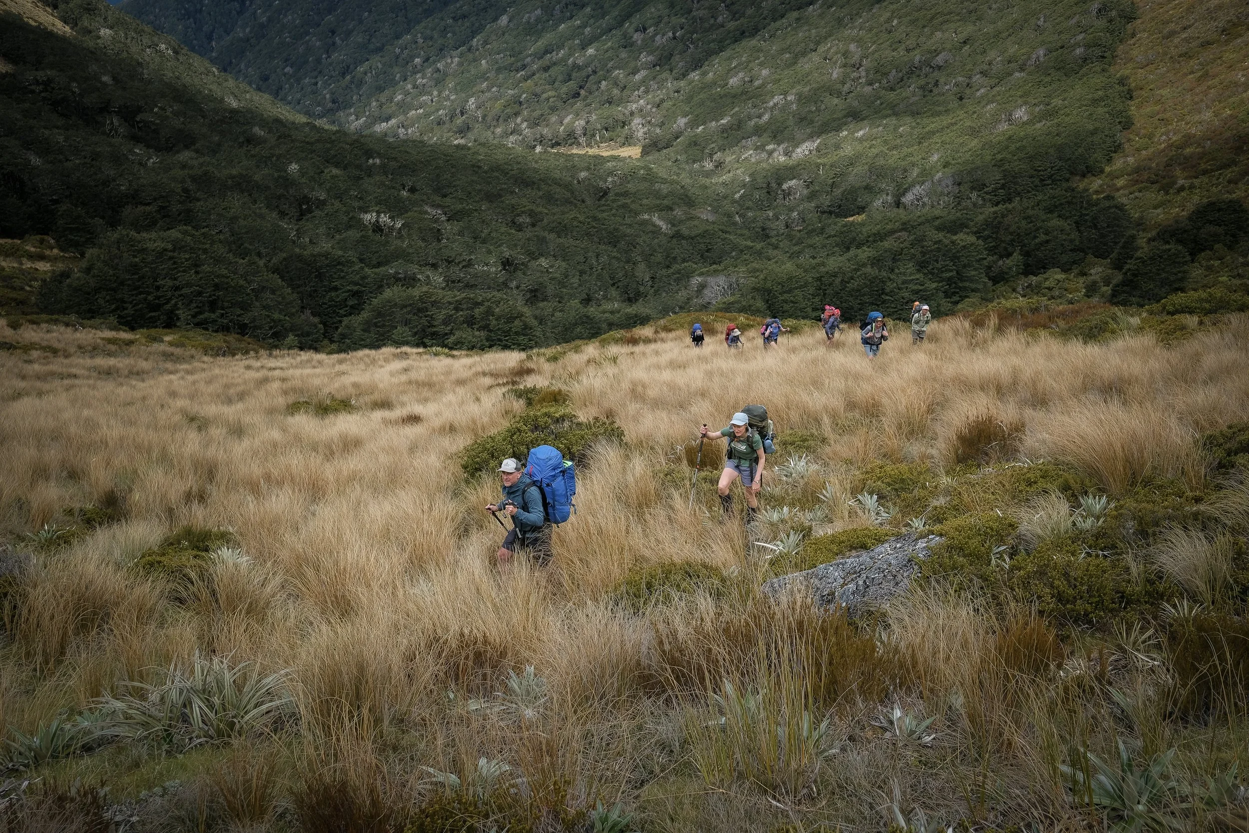
It’s about two hours from the junction to reach Lake Man Biv, but it sure feels longer with a heavy overnight pack. About midway up, the orange triangles become sparser and the track more ill-defined. I had to back-track a couple times after the ‘track’ I followed petered out. It pays to take it to fully stop and scan. There are more than a few points where the next triangle is not anywhere in sight. I think the track could actually do with a few more markers to ensure more regular triangle-to-triangle spotting. Closer to the hut, it becomes a bit boggier, but I guess that’s a good thing because it means you’re done the steep bit (for now!) and almost at the hut.
Yes, there’s more steep bits. Because now you’re going to ascend a pretty sharp 400m to Lake Man! On this ascent, you at least have a fantastic view both of the valley and of the waterfall pouring from the outlet of Lake Man above you. It took us just under an hour for this last bit.
Day 2
Return the same way:
17.3 km, 6 hr 30 min, 112m gain


